About Bloor Homes
Bloor Homes is a family-owned private housebuilder with a reputation for quality, consistently achieving the highest five-star rating for customer satisfaction in the annual National Housebuilders Federation National New Homes Customer Satisfaction Survey. Over 97% of our customers would recommend us to family and friends.
Find out more at: https://bloorhomes.com/
The site
The circa 21.2ha site is located to the north of Spondon, on either side of Locko Road. Existing residential dwellings border the site’s southern boundary on the west side of Locko Road, with Spondon Cricket Club and allotments bordering the site on the east side of Locko Road.
The northern boundary of the site is formed by a watercourse, consisting of Lees Brook on the west side of Locko Road and an unnamed stream on the eastern side. This provides a clear and logical boundary of the site separating it from countryside to the north.
The site is largely in agricultural use in a mix of arable and pasture. The agricultural fields themselves are of relatively low biodiversity value, however the site also contains higher value habitats such as mature trees and hedgerows on field boundaries. These will be retained and incorporated into the development proposals as much as possible.
The site is currently designated as Green Belt, however due to recent national planning policy changes, it is now being brought forward as a sustainably located Grey Belt site to meet increased housing need.
The site occupies a highly sustainable suburban location on the edge of Derby, with a range of existing services, facilities, public transport routes and employment opportunities in the local area.
Facilities in Spondon include primary and secondary schools, supermarkets, shops, dentists, medical centre, pharmacy, parks and community facilities. To the south of Spondon is Spondon station and significant employment provision, including the recent Smart Parc development. Further significant employment can be found a short distance from Spondon, including Rolls Royce and other major employers off Raynesway.
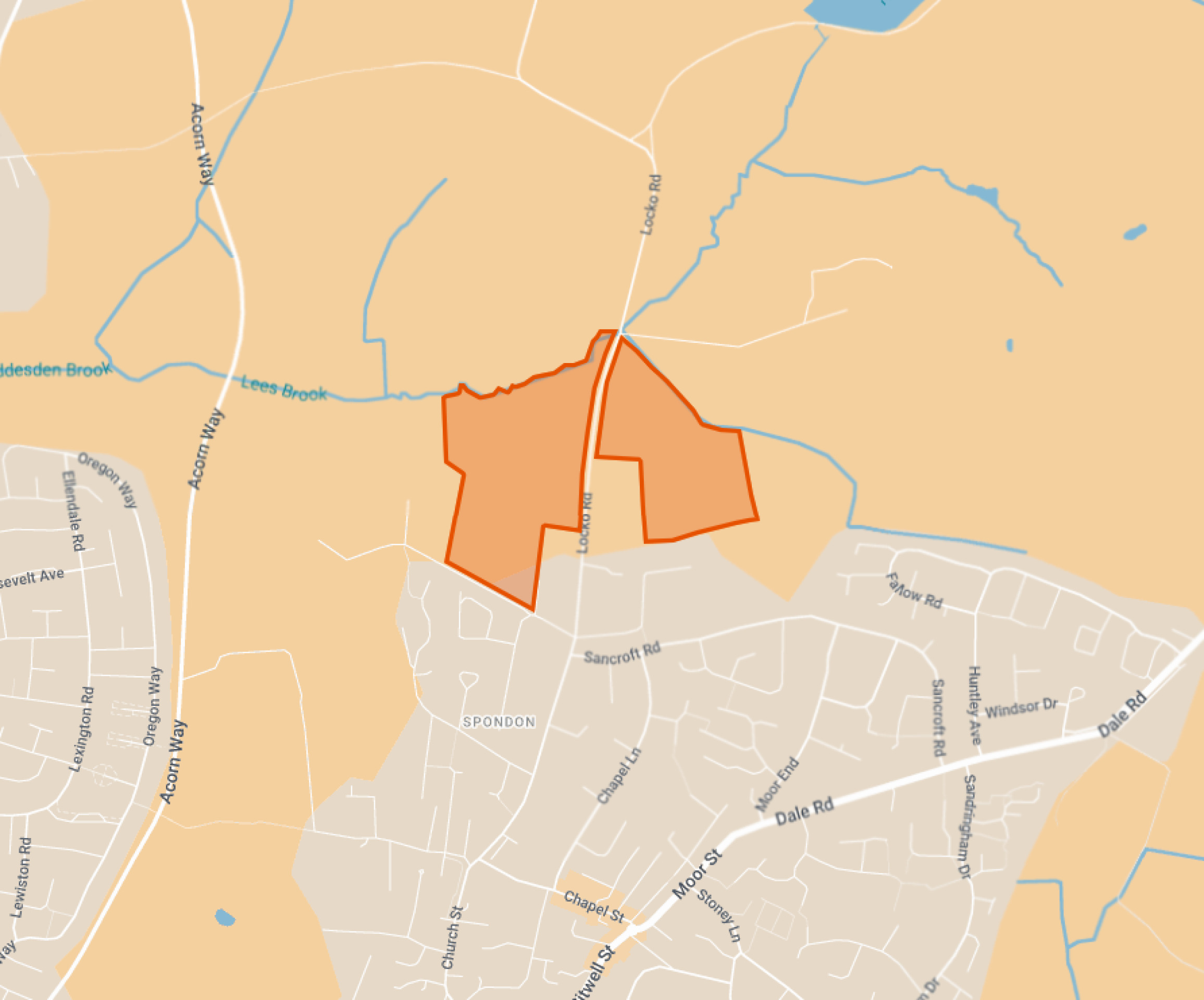
Site location plan - click to enlarge
Planning policy context
Local Plan and NPPF
The government introduced a new National Planning Policy Framework (NPPF) in December 2024. This significantly increased the number of homes that need to be delivered in Derby City from 647 in the adopted Local Plan (2017) to 906 new homes per annum applicable in the city now.
The current Development Plan for Derby has fallen out of date and so the Council is preparing a new Local Plan for the area. Regulation 18 consultation on a draft of this emerging new Local Plan is currently under way, however it is anticipated to be some time before a new Local Plan is adopted. While the site is being promoted through this new Plan, in the meantime planning applications need to be considered against the current Development Plan, which is afforded less weight having fallen out of date.
Five-year housing land supply
The NPPF also requires that Derby City Council is able to demonstrate a five-year housing land supply. This is the amount of land that the Council must identify to ensure there are sufficient deliverable sites for residential development over the next five years. Derby City Council currently cannot demonstrate a five-year supply of deliverable housing land. The Council’s latest assessment set out that they considered they could demonstrate only a 2.7 year supply of deliverable housing sites at 1 April 2025, only around half of that required, demonstrating an acute need for additional housing in the short term. The emerging outline proposals for Locko Road, Spondon, will contribute to meeting this housing delivery shortfall at a sustainable location.
Grey Belt
A new Grey Belt policy was also introduced in the NPPF. This allows development in some areas of Green Belt, provided certain criteria are met. Grey Belt includes land that ‘does not strongly contribute’ to Green Belt purposes which are set out in the NPPF. The site at Spondon is sustainably located on the settlement edge. It meets the criteria for Grey Belt land and is being brought forward for a sensitive, landscape-led sustainable residential development on this basis.
The new NPPF has introduced increased housing targets for Derby, as well as a new Grey Belt policy.
An outline planning application establishes the broad principles of development, such as access arrangements, illustrative concept layout, number of homes and general extent of development.
If outline planning consent is granted, a detailed planning application called a “reserved matters” planning application would be prepared. This would include more detail such as architecture, materials, detailed layout and landscaping, and would be subject to further consultation with the local community before being submitted for determination. Both outline and reserved matters planning applications are subject to Statutory Consultation carried out by the Local Planning Authority (Derby City Council).
Site constraints and opportunities
How local features and landscape have shaped the proposed illustrative layout of the new neighbourhood.
In preparing the concept layout for the site, the technical team appointed by Bloor Homes first of all considered the landscape, drainage features, topography and local context of the site. The following plan shows some of the features and constraints that have informed the emerging outline proposals. Key features include a gentle slope from the south to north, increasing as the northern boundary is approached, existing mature trees and hedgerows, public rights of way to the west and east of the site and neighbouring uses such as Spondon Cricket Club and allotments.
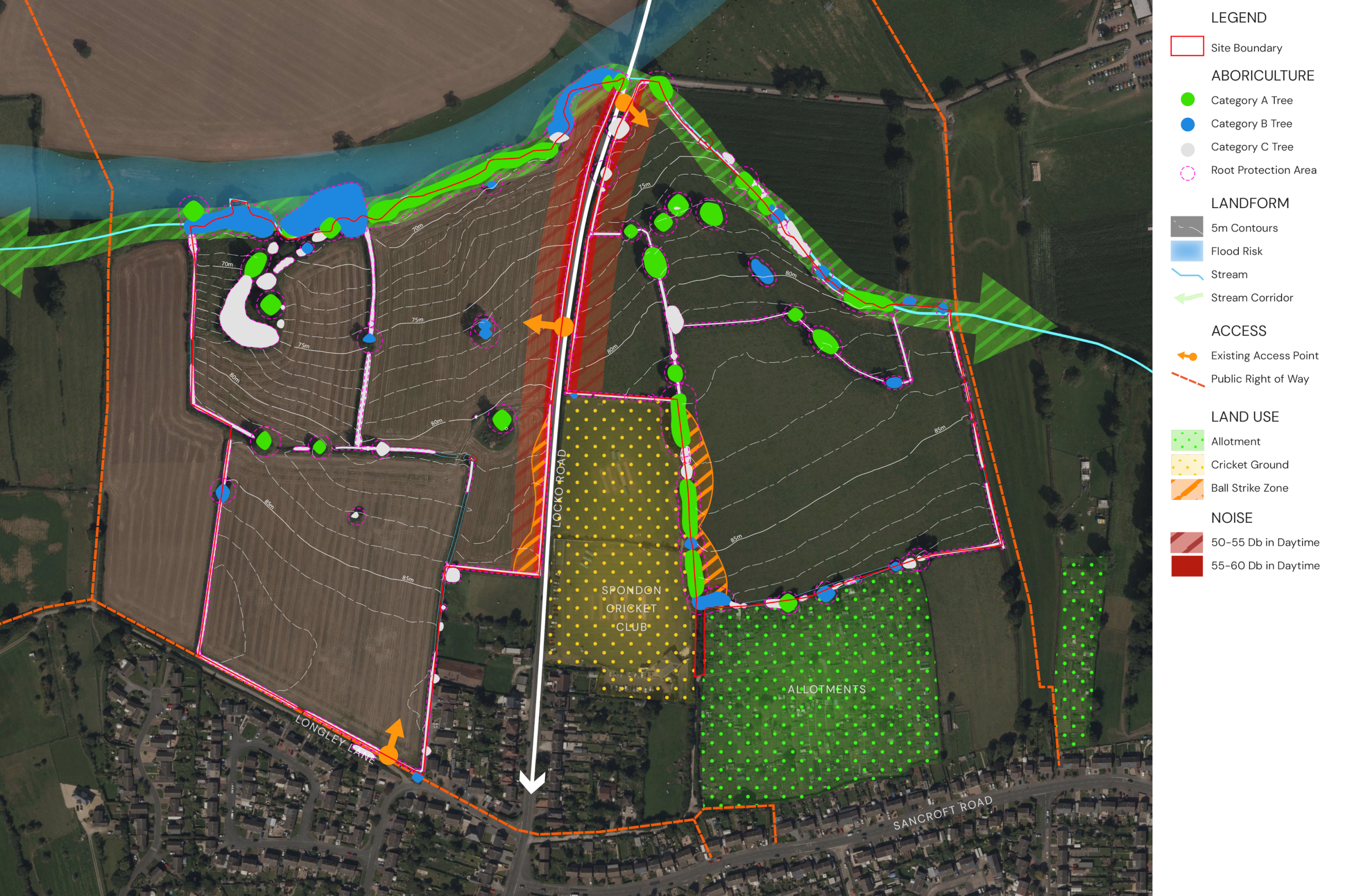
This plan shows analysis of some of the site features that have influenced the illustrative masterplan for the new neighbourhood - click to enlarge
The emerging proposals
Alongside the ongoing promotion of the site through the emerging new Local Plan, Bloor Homes is now preparing an outline planning application for a proposed new neighbourhood at the site. This would include:
- Up to 250 high-quality market and affordable homes.
- Around 45% would be provided as affordable homes, including shared ownership homes that would appeal to first-time buyers, in accordance with Grey Belt principles.
- Potential to provide accessible homes or bungalows as part of the housing mix.
- A gas-free development with all homes built to be net zero carbon-ready, including air source heat pumps, solar panels, uprated insulation and EV charging infrastructure.
- A landscape-led approach to development, with around two thirds of the site area retained as open space, including the retention of the vast majority of existing trees and hedgerows, as well as extensive planting of new trees and wooded areas.
- Extensive public open spaces, including a network of walking and cycling routes providing connections to existing public rights of way in the wider area.
- Children’s play areas for new and existing residents.
- The potential to provide a new sports facility or community space, with local feedback welcomed on potential uses.
- Bird nesting bricks or boxes in every new home and hedgehog highways between gardens.
- A package of investment to support local services, to be determined in consultation with statutory consultees such as the local NHS Integrated Care Board, education and highways authorities, and others.
Illustrative masterplan
The image opposite shows an illustrative masterplan of the proposed new neighbourhood. You can view the masterplan in more detail on our interactive map by clicking on the image or by following this link.
The site will have be accessed via a new roundabout junction on Locko Road providing access to both the western and eastern parcels of development. In addition to facilitating access to the new neighbourhood, the roundabout will also provide a positive new gateway to Spondon from the north, controlling vehicle speeds and providing more structured access for pedestrians, alongside appropriate public transport provision.
The illustrative masterplan can accommodate around 250 homes, with the net developable area comprising around one third (33%) of the site. Around 14 hectares of green infrastructure are proposed for the remaining two thirds (67%) of the site. The masterplan has been designed to protect and enhance the landscape asset of the Lees Brook to the north, creating a large public parkland for the wider community to enjoy, with key connections into the local public rights of way network to the southwest, southeast and east. The new neighbourhood will become a cohesive part of the wider Spondon community, with the existing cricket club and allotments forming a focal point.
The landscape-led approach to the scheme reflects the topography of the site and also is shaped by existing field boundaries, which will be supplemented with additional planting to reintroduce historical field boundaries. The topography of the site allows for an effective and attractive SuDS network, which will manage surface water run-off, whilst creating attractive areas of amenity and ecological enhancement.
An area of land west of Locko Road is proposed to be provided for sports or community use, and community feedback and potential uses here would be welcomed.
A network of public walking and cycling routes will be created throughout the site, providing access to the extensive public open spaces, and there are opportunities to link this network to existing public rights of way and to improve north/south connections to integrate the development into Spondon.
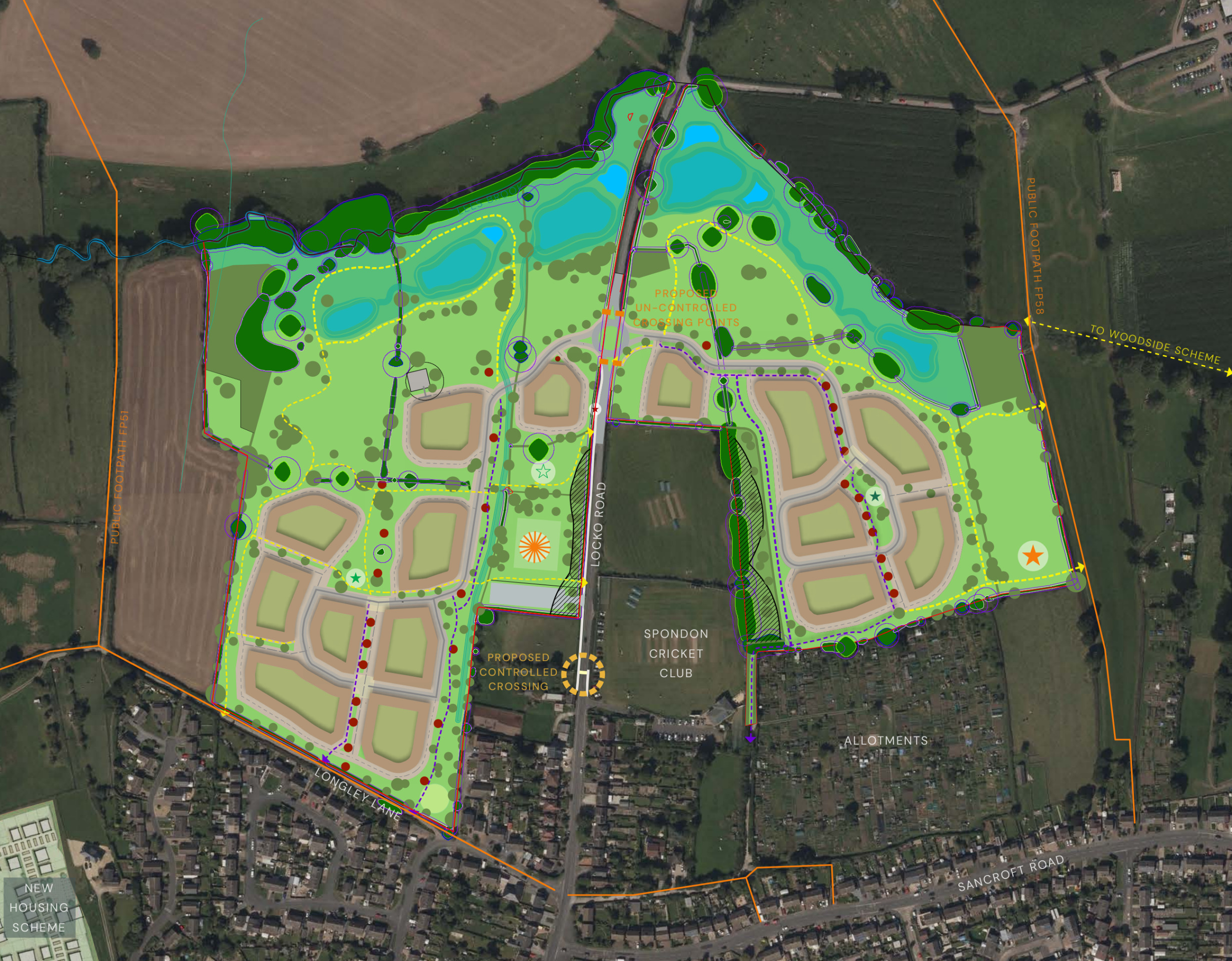
Illustrative concept masterplan of the proposed development. Click to open interactive masterplan map.
New homes
House types
The planning application is an outline planning application. This type of planning application sets out the broad principles of development, such as maximum number of homes, an illustrative layout and site access arrangements. Should outline planning permission be received, finer details such as specific house types, detailed layout, architecture etc would be subject to a subsequent further planning application (called a reserved matters planning application). This would involve further consultation with the community.
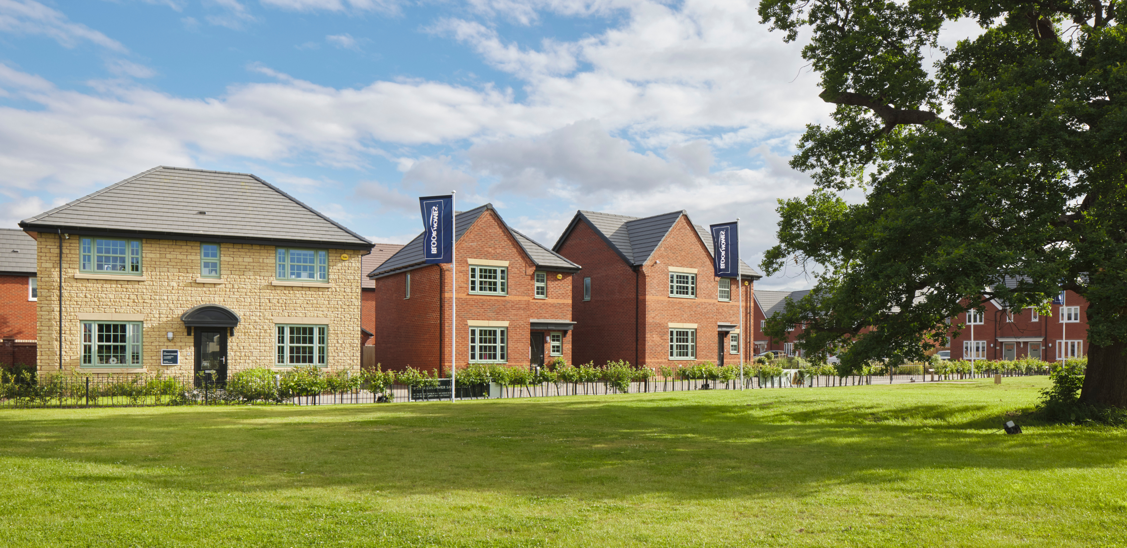
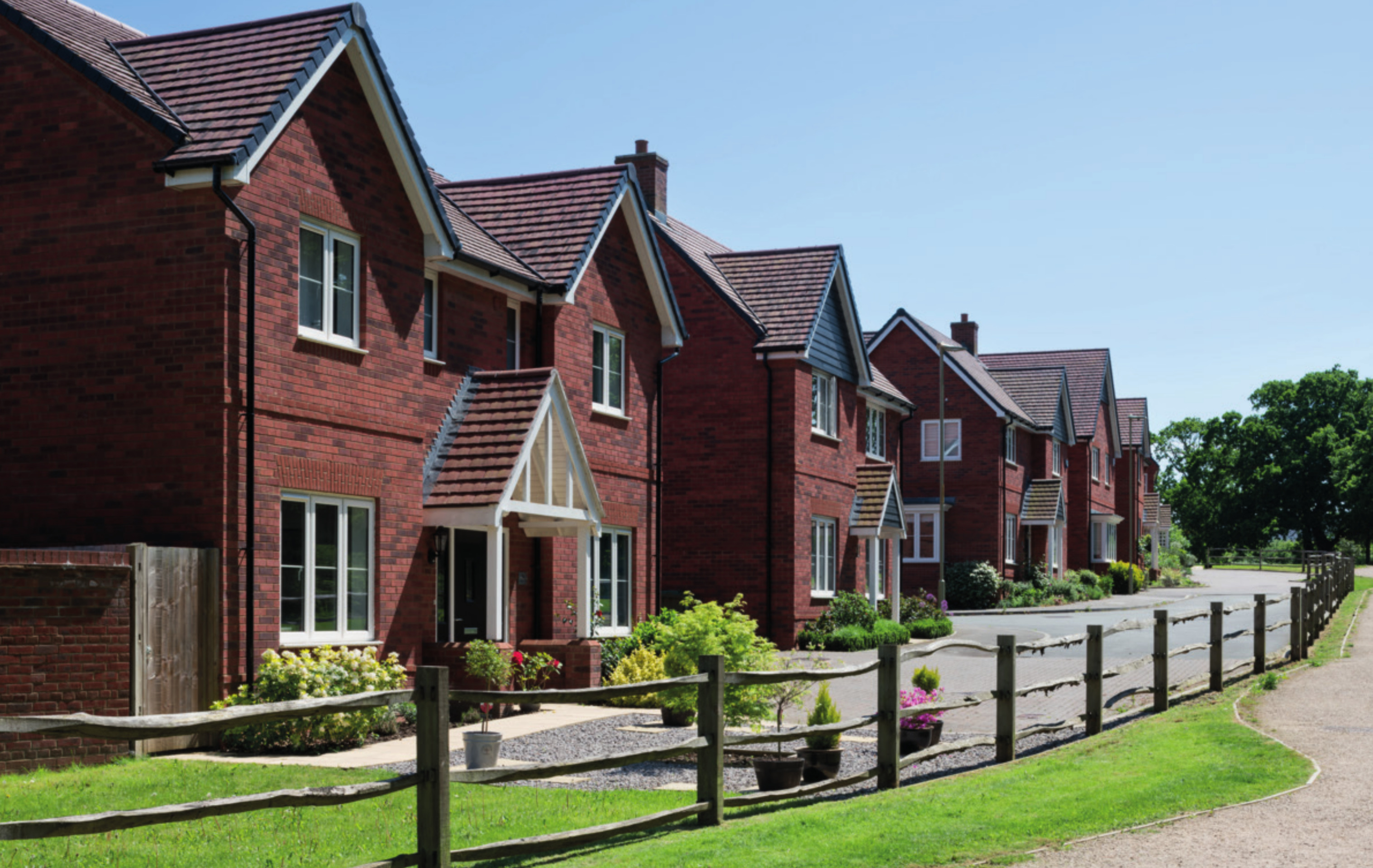
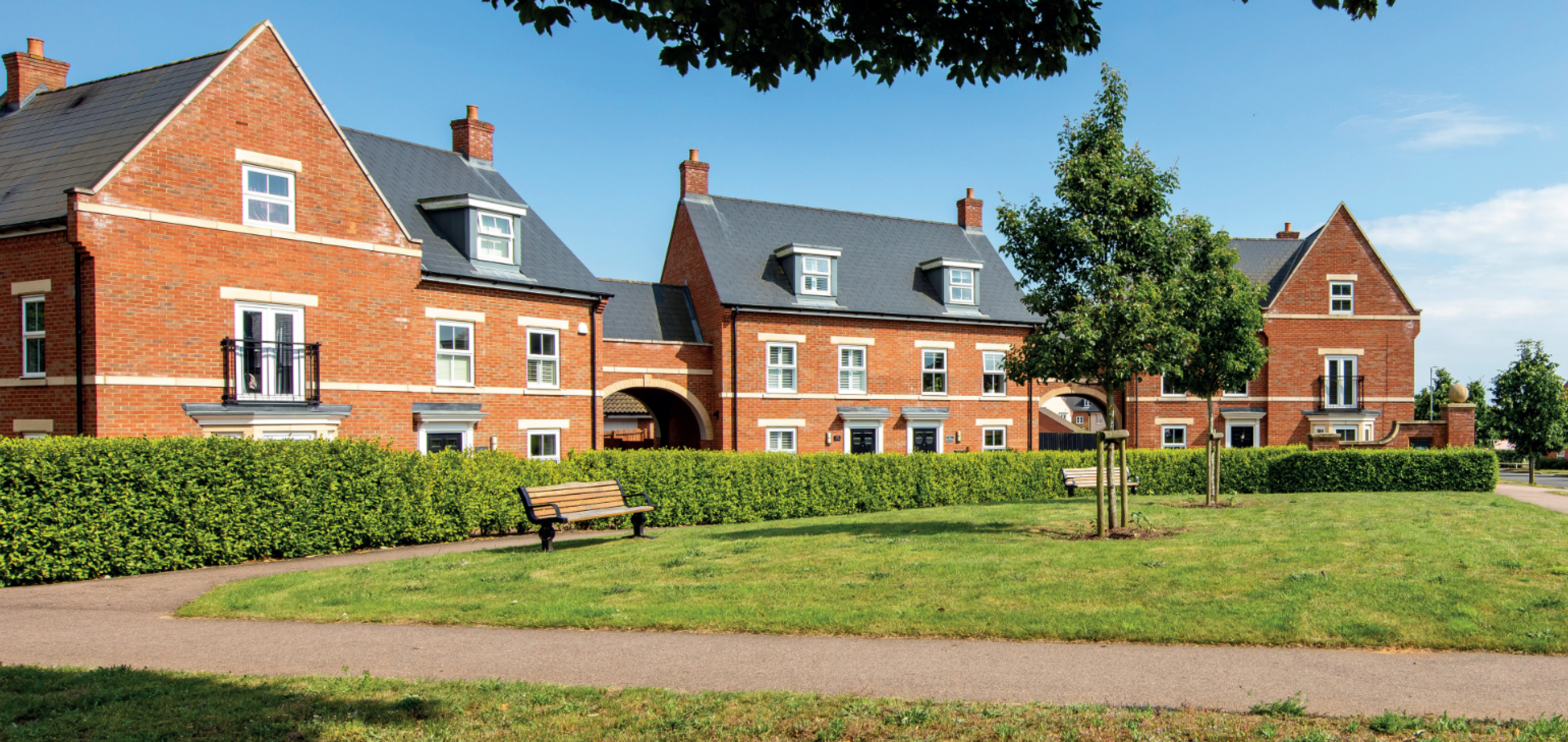
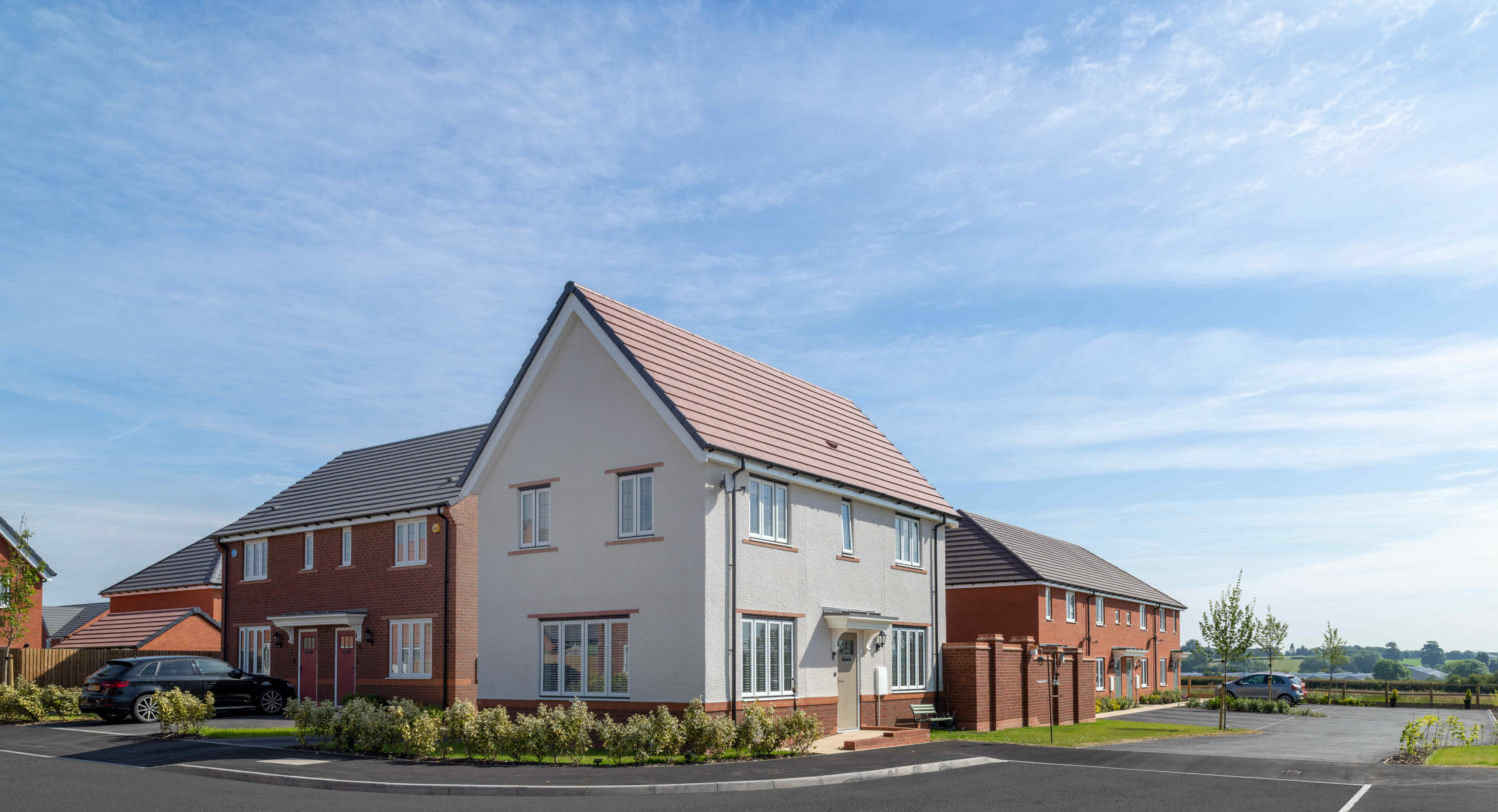
While house types would be determined at the reserved matters planning stage, we have provided imagery of existing Bloor Homes developments on this website to provide an idea of the types of high-quality homes we build. Click on the adjacent image to open a gallery of examples of existing Bloor Homes developments.
Use the feedback questionnaire to tell us the types of homes you would like to see prioritised in Spondon.

Examples of some recent Bloor Homes developments. Click to open a gallery of images.
Affordable homes
As the site is being proposed for development as a Grey Belt site, around 45% of the new homes would be classified as affordable homes in line with national policy (30% local policy plus a 15% uplift in accordance with Grey Belt principles). This will provide opportunities for those on lower incomes with connections to the local area to secure a home of their own. Affordable housing is anticipated to be provided in a mix of affordable rent and shared ownership homes aimed at first time buyers. However, this will be determined in consultation with Derby City Council’s Housing Team.
We are happy to work with Derby City Council for Local Occupancy Criteria to be applied to the affordable housing provision, if this is a priority in community feedback. This would see affordable housing prioritised for those with a local connection.

Around 45% of the new homes will be provided as affordable homes, including shared ownership homes that would appeal to first-time buyers
Sustainable homes
At Bloor Homes we want to deliver homes that are sustainable now and contribute to a cleaner, greener future.
We know that sustainability is hugely important to communities across the country. It is anticipated that the new homes at Spondon would be built to the Future Homes Standard, resulting in a neighbourhood of net zero carbon-ready homes.
The neighbourhood will be gas-free, with all homes provided with air source heat pumps as standard. Solar panels will also be incorporated, which along with the use of the latest materials and technique to maximise insulation, air tightness and heat recovery, will create an uplift in energy efficiency of 75-80%.
The new homes will incorporate sanitaryware and appliances that meet the highest water efficiency standards.
Electric vehicle (EV) charging points will be provided for all homes with on plot parking, together with access to communal EV charging points for the whole neighbourhood.
To minimise the impact of construction, we always aim to procure materials from sustainable sources and recycle construction waste as far as is possible.

The new homes for Spondon will incorporate a range of sustainability measures, including EV charging, air source heat pumps, solar panels and uprated insultation.
Sports or community facility
The masterplan for the proposed new neighbourhood includes a potential sports or community facility. This could take a number of forms, for example the potential to provide cricketing facilities is being explored to complement activities at the neighbouring cricket club.
Use the feedback questionnaire to tell us your suggestions for a potential sports or community use for this area.
The scheme includes the provision of a potential sports of community space.
Investing in local services
A key consideration with a planning proposal such as this is to ensure that local services receive the investment they need to accommodate housing growth in the local area. The development will generate investment into local infrastructure such as healthcare and education, and this will be informed by consultation carried out by Derby City Council with statutory bodies such as the local NHS Integrated Care Board and the local education authority and will be secured via legal agreement between Bloor Homes and the Council. This is a requirement for Grey Belt proposals, and the scheme would not be approved unless it has been evidenced that such agreement on infrastructure contributions has been achieved.

The development will generate significant funding for key infrastructure such as healthcare and education, to be determined in consultation with bodies such as the NHS, local education authority, etc.
Access and connectivity
Site vehicular access
As set out above, vehicular access to the site is proposed via a new roundabout junction on Locko Road providing access points to both the western and eastern parcels. It is proposed that the speed limit be reduced to the north of the proposed roundabout so that the speed limit would be 30mph. This would be reinforced by the effect of the roundabout naturally slowing traffic on the transition from Locko Road to the north into Spondon.
Active travel connectivity
There are a number of opportunities to link into both the outward facing public right of way network to the north, but also to integrate the development into Spondon by creating and improving north south connections. To the west this can be achieved by linking connections to the existing routes off Longley Lane, particularly the lit footpath which connects Royal Hill Road. To the east this will be achieved by re-establishing the connection from the site to Louise Greaves Lane between the cricket club and the allotments, providing quick and convenient access to Sancroft Road (and its bus stops). These connections will make the site well integrated with Spondon. Improvements will also be made to Locko Road, with a footpath included to improve pedestrian safety whilst travelling to the site.
Bus enhancements
Improvements to public transport are proposed, including potential improvements to existing bus stops on Sancroft Road. The scheme is being designed to accommodate bringing the Spondon circular bus route into the site through the provision of additional bus stops on Locko Road.
Transport assessment and travel plan
A Transport Assessment and Travel Plan will support the outline planning application. In addition, a standalone Active Travel Assessment will also be submitted.
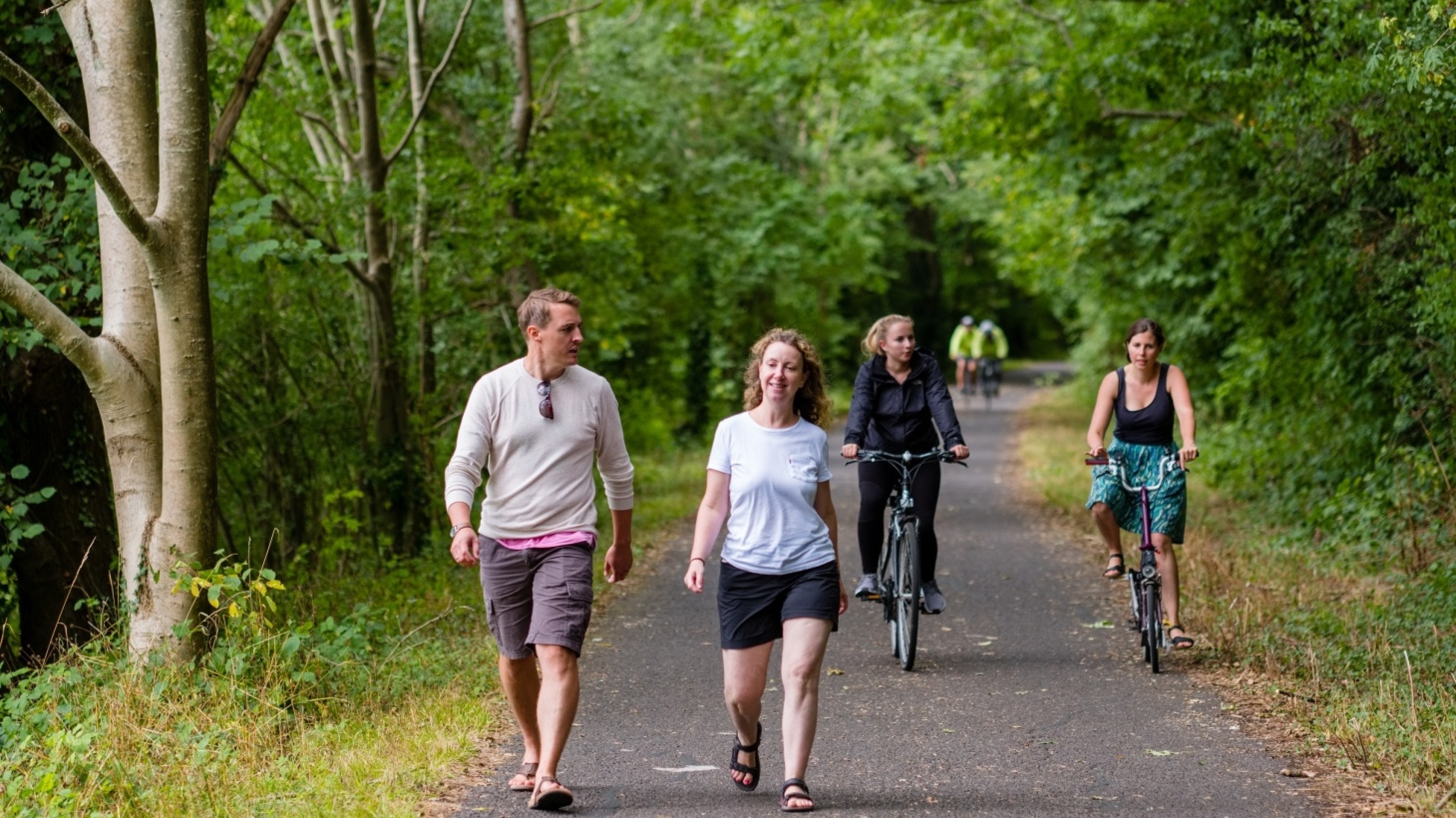
The development will provide a network of new walking and cycling routes, with opportunities for onward links to existing routes in the wider area.
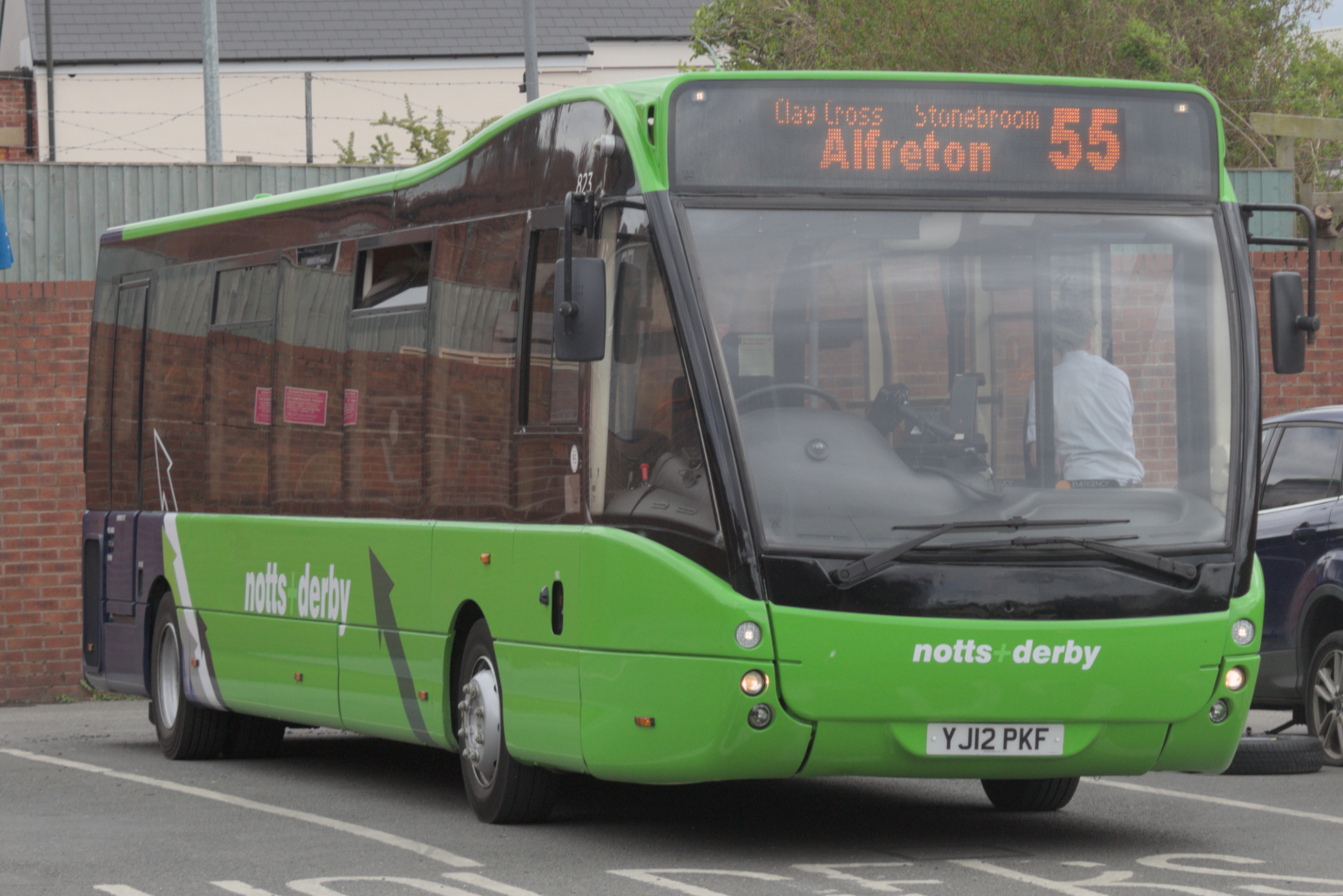
Enhancements to local bus provision are proposed
Green infrastructure
At Bloor Homes, we want to ensure that natural habitats are protected while we deliver new homes for people and families.
We are conscious of the ever-increasing importance of ensuring that development is sustainable, protecting and enhancing natural habitats and green infrastructure as much as possible whilst delivering much needed homes for people and families.
The provision of high-quality green public open spaces is at the heart of the landscape-led approach to sensitive development at Spondon, with around two thirds of the overall site area being retained as open space. Existing mature trees and the vast majority of hedgerows will be retained. Alongside this, extensive additional planting of new trees and the reinstatement of historic hedgerows that had been lost to agriculture, will enhance habitat provision across the site and increase tree cover.
The new neighbourhood will feature extensive green public open spaces, including a large area of public parkland in the northern portion of the site. A network of walking and cycling routes linking with existing public rights of way will be set within these landscaped open spaces, as well as features including children’s play areas for new and existing residents and areas of biodiversity enhancement.
Ecology and biodiversity net gain
A Preliminary Ecological Appraisal has been completed informed by an initial walkover survey and desktop study. This considers the potential ecological constraints and opportunities for the proposals and informed the full scope of further surveys that would be required.
Survey work commenced in June for bats. Further surveys for bats, badgers and habitats occurred between then and October of 2025. An Ecological Impact Assessment report identifying, evaluating, and quantifying the potential ecological impacts of the development proposal on habitats, species, and ecosystems will be submitted as part of the outline planning application, along with the specific protected species identified.
The application will be supported by a Biodiversity Net Gain assessment to demonstrate how at least 10% net gain in biodiversity will be achieved by the proposed development.

Homes for Nature
Bloor Homes is proud to be a member of the Homes for Nature programme. This will see the installation of nesting bricks/boxes in every new home and hedgehog highways between gardens.
Drainage
As set out above, the site slopes in a northerly direction towards the Lees Brook in the north-west and its tributary in the north-east. Locko Road splits the site into two primary drainage catchments; an eastern catchment and a western catchment.
The Environment Agency’s Flood Map for Planning demonstrates the site is primarily located within Flood Zone 1, which has the lowest risk of flooding from fluvial sources. However low-lying land adjacent to the Lees Brook within the north-western extents of the site are located within Flood Zones 2 and 3. No built development will be located in or near these areas of flood risk.
The Flood Map for Planning also demonstrates that the site generally has a very low risk of surface water flooding, with the exception of an overland flow path associated with the Lees Brook and its tributary. All development will be offset from this flow path. The mapping also demonstrates isolated areas of low-high flood risk associated with topographical low spots. The flood risk associated with these areas will be mitigated via the infilling of low spots and grading of ground levels to divert surface water towards the proposed drainage network and landscaped areas.
A Sustainable Drainage System (SuDS) is proposed to manage surface water runoff from the site. The proposed surface water drainage network will be designed to cater for all storm events up to and including a 1 in 100-year storm event, with a +40% uplift to account for climate change, and a +10% consideration for urban creep. Surface water runoff will be collected by a network of attenuation basins which will be located within the northern extents of the site, where ground levels are the lowest. A restricted discharge will be made from each catchment at greenfield runoff rate.
In addition to managing surface water, the SuDS features have the added benefit of providing new more varied wetland habitats, further enhancing biodiversity within the site.
The sustainable drainage system for the new neighbourhood will also provide biodiversity benefits through the provision of wetland habitat.
Other technical considerations
Landscape
A comprehensive Landscape and Visual Appraisal will be prepared to accompany the outline planning application. This will provide an assessment of the likely landscape and visual effects of the proposed development.
Given the site’s location, nature and aspect, there are sensitivities to carefully consider in terms of both landscape character and visual amenity. However, there are also opportunities to significantly enhance the Green Infrastructure in the area, provide a net gain in biodiversity and improve connections to the surrounding countryside.
The evolving masterplan design has its foundations in the existing landscape fabric of the site, working with the underlying topography and seeking to retain and enhance its natural features. It seeks to retain all existing riparian vegetation, hedgerows and hedgerow trees; provide new tree and hedgerow planting to strengthen and restore existing boundaries; and deliver of a variety of public green spaces.
A ZTV (Zone of Theoretical Visibility) plan for the proposals is being prepared so the project design team can test the inter-visibility of the site with the surrounding area and particularly with the registered park and garden to the north (Locko Park).
Whilst views of the site are relatively well contained by the existing landscape framework, the landscape strategy for the development will also provide effective mitigation in respect of the potential views of the scheme from the nearby public rights of way and the surrounding area.
Archaeology and Heritage
Heritage work is being undertaken to establish any impacts of the proposed development on Locko Park, with Grade II and II* structures and Grade II listed parkland. However, any impacts of the proposal are heavily mitigated by an intervening tree belt which defines the southern boundary of Locko Park, and also landform. No other designated built heritage assets are considered to be sensitive.
Archaeology work is also being undertaken and will support the outline application, including recommendations on any required mitigation such as further survey work. With regards to archaeology, nothing that would be a constraint to development is recorded in the current data.
Other studies
Other technical reports submitted with the outline planning application will cover matters such as arboriculture (trees), noise, air quality and others.
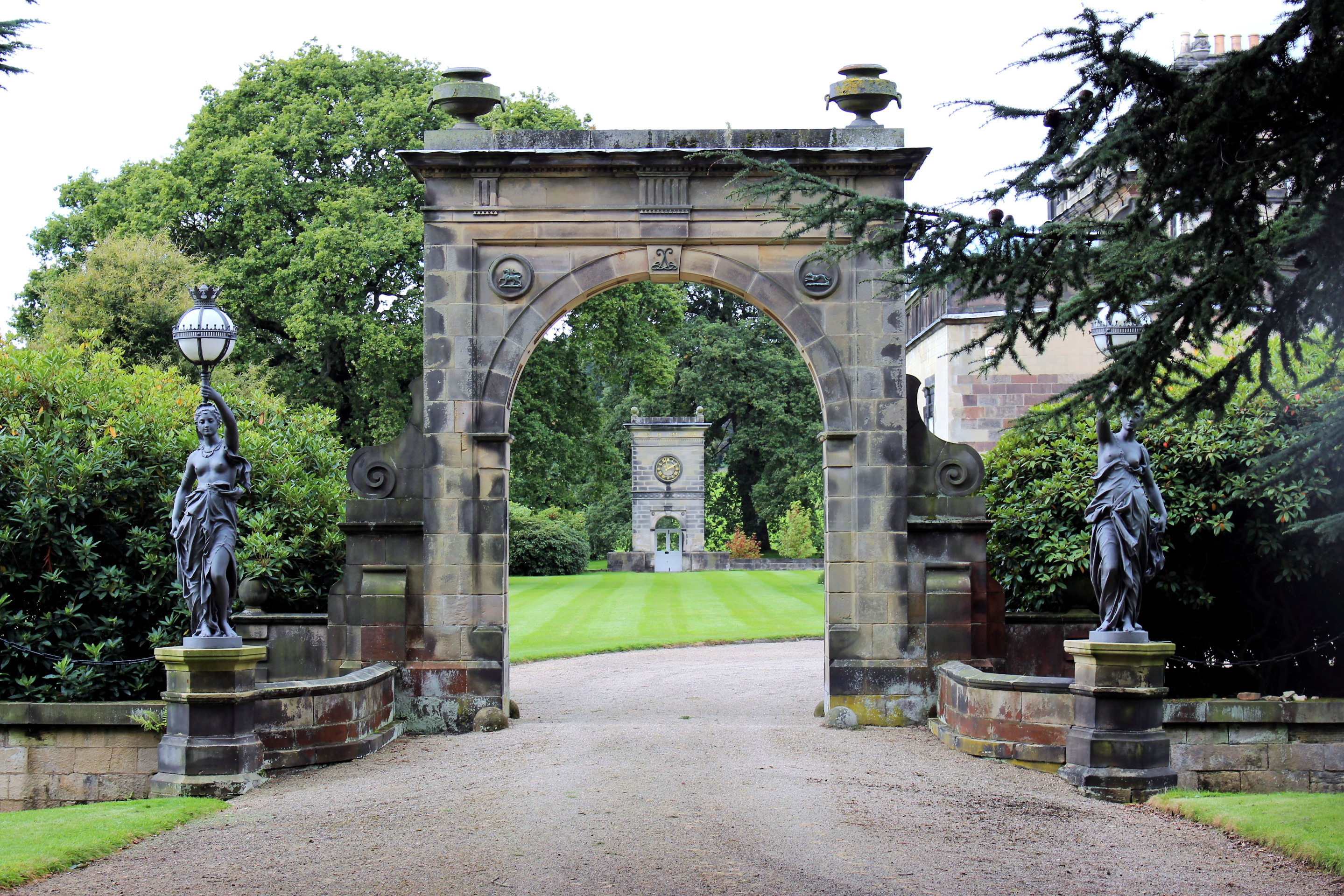
Heritage work is being undertaken to ensure that any potential impacts on Locko Park are mitigated.